Cross-posted from:https://feddit.de/post/10664616
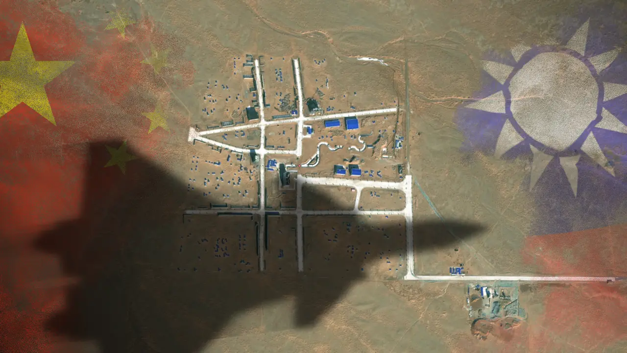
The satellite images reveal a layout of streets strongly resembling the Bo’ai Special Zone, a restricted area in Taipei’s Zhongzheng District that houses Taiwan’s most important state buildings, including the presidential palace, the supreme court, the ministry of justice and the central bank of Taiwan.
The Bo’ai Special Zone is subject to specific regulations, including a strict ban on overflight.


thank you so much. Its confusing but I guess I do live in a place that have places like new england and new york.
Think Mongolia is to Inner Mongolia as Mexico is to New Mexico
Or Ireland and Northern Ireland.
Even better example, although I was trying to use one in the American context based on the comment about new england and new york. California and Baja California would be another on the American continent where the name of a geographic region that encompasses a national boundary is used separately on both sides of that boundary, although it’s a little different because neither of those two is a country